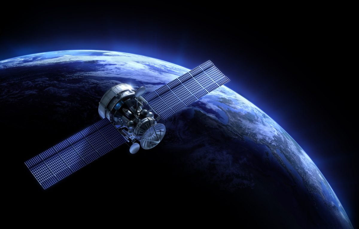
China is planning to launch a constellation of AI-powered satellites, according to a state broadcaster.
The constellation will be 192-strong and called ‘Xingshidai’ reports China Central Television.
China intends to use the satellites for environmental monitoring, disaster prevention, and traffic management. AI will help to process images to avoid sending poor quality pictures back to Earth.
Xingshidai satellites will likely use China’s Julang-1 booster rockets to reach orbit. Julang-1 can put satellites weighing up to 150kg (330lbs) into orbit at an altitude of 372 miles (600 kilometres).
The launch of a Julong-1 is estimated to cost around 25 million yuan (£2.87million).
Project manager Wang Long told China’s Global Times newspaper yesterday:
“The coordinated smart system will independently analyse the data it obtains rapidly and decide what data should be sent back to the ground, or what orders it should carry out for the next step.
This could shorten the time that would otherwise be needed to receive orders from the ground for every little move.”
China’s aerospace industry is growing fast. In January, the nation reported successfully landing a spacecraft on the far side of the Moon. Last month, China successfully launched its Chang Zheng 11 carrier rocket with seven spacecraft on board from a floating launch platform. Next year, the country plans to launch its Mars Global Remote Sensing Orbiter and Small Rover.
The application of AI to China’s aerospace initiatives has enormous potential. However, some experts believe China needs to advance its capabilities in areas such as computer chips, radar, and optical devices to fully realise its vision.
Xingshidai’s satellites are being developed by ADASpace, a private Chinese company based in Chengdu.

deepgeniusai.com/">AI & Big Data Expo events with upcoming shows in Silicon Valley, London, and Amsterdam to learn more. Co-located with the IoT Tech Expo, , & .


